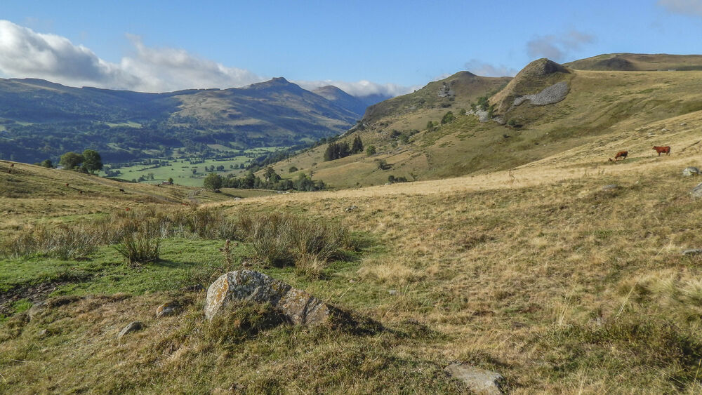
Silt and Laqueuille Rock
Add to my favorites


Difficult circuit. Features: landscape and heritage. Itinerary suitable for VTTAE (blue level: moderate).
The characteristics of the route.

Dienne (15)
- Distance 8.1 km
- Elevation gain 360 m
- Elevation lost 360 m
- Min. elevation 1050 m
- Max. elevation. 1407 m
- Duration (depending on pace) 2h
- Marking Yes
Marking : Red markings.Equipments : Parking nearby, Admission fee : Free access.Opening : All year round.
Subject to favorable weather.
Report a problem Add a comment
Website Pdf file
Add your time and share your feelings
Services nearby

Mountain guides "Terres 2 Cîmes"
Dienne

Matthias Daub- Mountain Leader/ Nordic Ski Instructor
Murat

Stopover-gite - Gite d'étape communal of Dienne
Dienne

Brun Annie et Gérard
Dienne

Stopover-gite - Foyer d'accueil communal of Dienne
Dienne
Contact 04 71 20 09 47
Information updated on 2022-05-31 by Hautes Terres Tourisme

OK
Annuler


