Col de Serre Puy de Niermont
Add to my favorites

Route closed
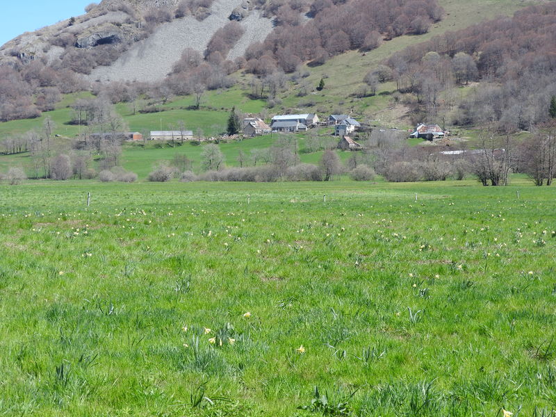
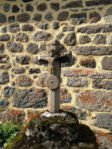
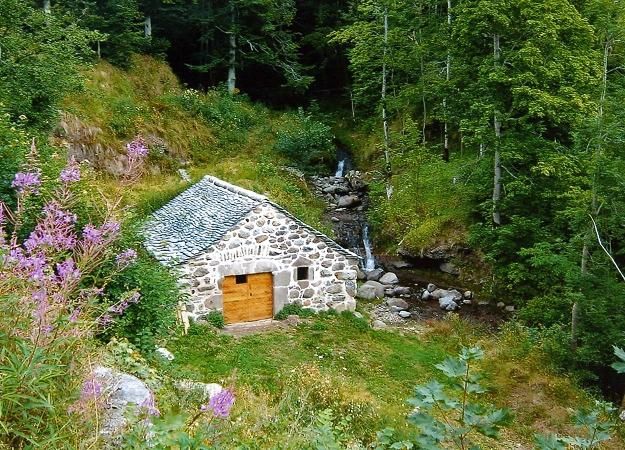
The program includes a long hike along the ridges of this glacial valley, with its mountain landscapes, summer pasture plateaus and burons. Don't forget your binoculars, as you just might spot a marmot or a chamois!
The characteristics of the route.
Dienne (15)
- Distance 20.4 km
- Elevation gain 600 m
- Elevation lost 600 m
- Min. elevation 1050 m
- Max. elevation. 1533 m
- Duration (depending on pace) 7h
- Marking Yes
Marking : Green signposting.Equipments : Picnic area, Car park, Free car park, Good plans : -For your safety, please check the weather forecast before setting off on your hike. -To preserve the environment in which you are located, please avoid leaving your garbage in nature. -Remember to take equipment adapted to the weather conditions and the hiking itinerary (hiking boots, water bottle, cap, sunglasses, jacket...).Admission fee : Free access.Opening : All year round.
Subject to favorable weather.
Report a problem Add a comment
Website Pdf file
Add your time and share your feelings
Services nearby
Autour du Cantou
Lavigerie
Alta Terra Refuge
Lavigerie
Stéphane Serre - Mountain leader
Lavigerie

La Cabane d'Alta Terra
Lavigerie
B&B - Alta Terra
Lavigerie


Information updated on 2022-05-20 by Hautes Terres Tourisme


Contact Carladès area
Carladès Tourist Office
Avenue A. Mercier
15800 Vic-sur-Cère
Tel. 04.71.47.50.68
Carladès Tourisme
tourisme@carlades.fr
![]()
Contact Hautes Terres area
Hautes Terres Tourist Office
Pl. Hôtel de ville - 15300 Murat
Tel. 04.71.20.09.47
Hautes Terres Tourisme
contact@hautesterrestourisme.fr
@hautesterrestourisme
@hautesterrestourisme


OK
Annuler